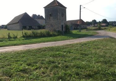
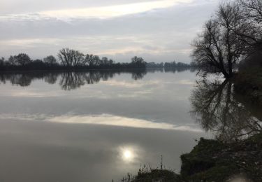
Trail Walking La Charmée - la charmée - Photo
© OpenStreetMap contributors
Length
Length
5.7 km
Max alt
Max alt
214 m
Uphill gradient
Uphill gradient
33 m
Km-Effort
Km-Effort  
6.2 km
Min alt
Min alt
186 m
Downhill gradient
Downhill gradient
48 m
Boucle
Boucle
No
Creation date :
2024-01-07 14:21:30.427
Updated on :
2024-01-07 15:40:14.989

(0 Reviews)

Walking
Walking
1h17
Difficulty : Medium

Scan this QR Code to open this trail in the SityTrail application

FREE GPS app for hiking

Logo SityTrail SityTrail

IGN / Geographical institutes

Download SityTrail from the App Store Download SityTrail from Google Play

Logo SityTrail SityTrail World

The world is yours!

Download SityTrail from the App Store Download SityTrail from Google Play Download SityTrail on Huawei AppGallery

About

Trail Walking of 5.7 km to be discovered at Bourgogne-Franche-Comté, Saône-et-Loire, La Charmée. This trail is proposed by tountouri.

Description

7 janvier 2024

Elevation profile

Positioning

Country:
France
Region :
Bourgogne-Franche-Comté
Department/Province :
Saône-et-Loire
Municipality :
La Charmée
Location:
Unknown
Start:(UTM)
637743 ; 5175694 (31T) N.

Trails nearby

Trail Nordic walking Sevrey - sevrey - Photo
Nordic walking
patourad

Nordic walking

Very easy
(1)
Sevrey, Bourgogne-Franche-Comté, Saône-et-Loire, France
9.7 km | 10.2 km-effort
1h 37min
Yes
Trail Cycle Lux - LUX LA SAÔNE - Photo
Cycle
doclocjl

Cycle

Very easy
Lux, Bourgogne-Franche-Comté, Saône-et-Loire, France
7.7 km | 8.4 km-effort
1h 52min
Yes
Trail Walking Lux - Lux : la Saône  - Photo
Walking
Brougeons

Walking

Very easy
Lux, Bourgogne-Franche-Comté, Saône-et-Loire, France
9.2 km | 10 km-effort
2h 14min
Yes
Trail Walking Saint-Ambreuil - G . St Ambreuil - Carré aux loups - Les mouilles - Sommière de la GD Toile - Sommière de la Gd Manche - Retour  par St Eloi .  - Photo
Walking
jeanpaulcheyssac

Walking

Medium
Saint-Ambreuil, Bourgogne-Franche-Comté, Saône-et-Loire, France
10.8 km | 11.6 km-effort
2h 37min
Yes
Trail Walking La Charmée - G . La Charmée Nord - Battrey - bois du temple - Le Piony - Mépilley et retour par champ Guenard . - Photo
Walking
jeanpaulcheyssac

Walking

Medium
La Charmée, Bourgogne-Franche-Comté, Saône-et-Loire, France
10.2 km | 11.3 km-effort
2h 33min
Yes
Trail Walking La Charmée - P . L a Charmée - Battrey - Les deux chenes - La Loge retourpar les Meix . - Photo
Walking
jeanpaulcheyssac

Walking

Medium
La Charmée, Bourgogne-Franche-Comté, Saône-et-Loire, France
10.1 km | 11.1 km-effort
2h 31min
Yes
Trail Walking Lux - P . Lux - bords de Saone - Etang Morin - retour par terres de Fontaine  - Photo
Walking
jeanpaulcheyssac

Walking

Medium
Lux, Bourgogne-Franche-Comté, Saône-et-Loire, France
8.3 km | 9.3 km-effort
2h 6min
Yes
Trail Walking Givry - P . Fontaine couverte Nord . - Photo
Walking
jeanpaulcheyssac

Walking

Medium
Givry, Bourgogne-Franche-Comté, Saône-et-Loire, France
9.1 km | 10.1 km-effort
2h 17min
Yes
Trail Walking Givry - P. Fontaines couverte Sud  - Photo
Walking
jeanpaulcheyssac

Walking

Medium
Givry, Bourgogne-Franche-Comté, Saône-et-Loire, France
7.2 km | 8.1 km-effort
1h 50min
Yes


Close
My subscriptions